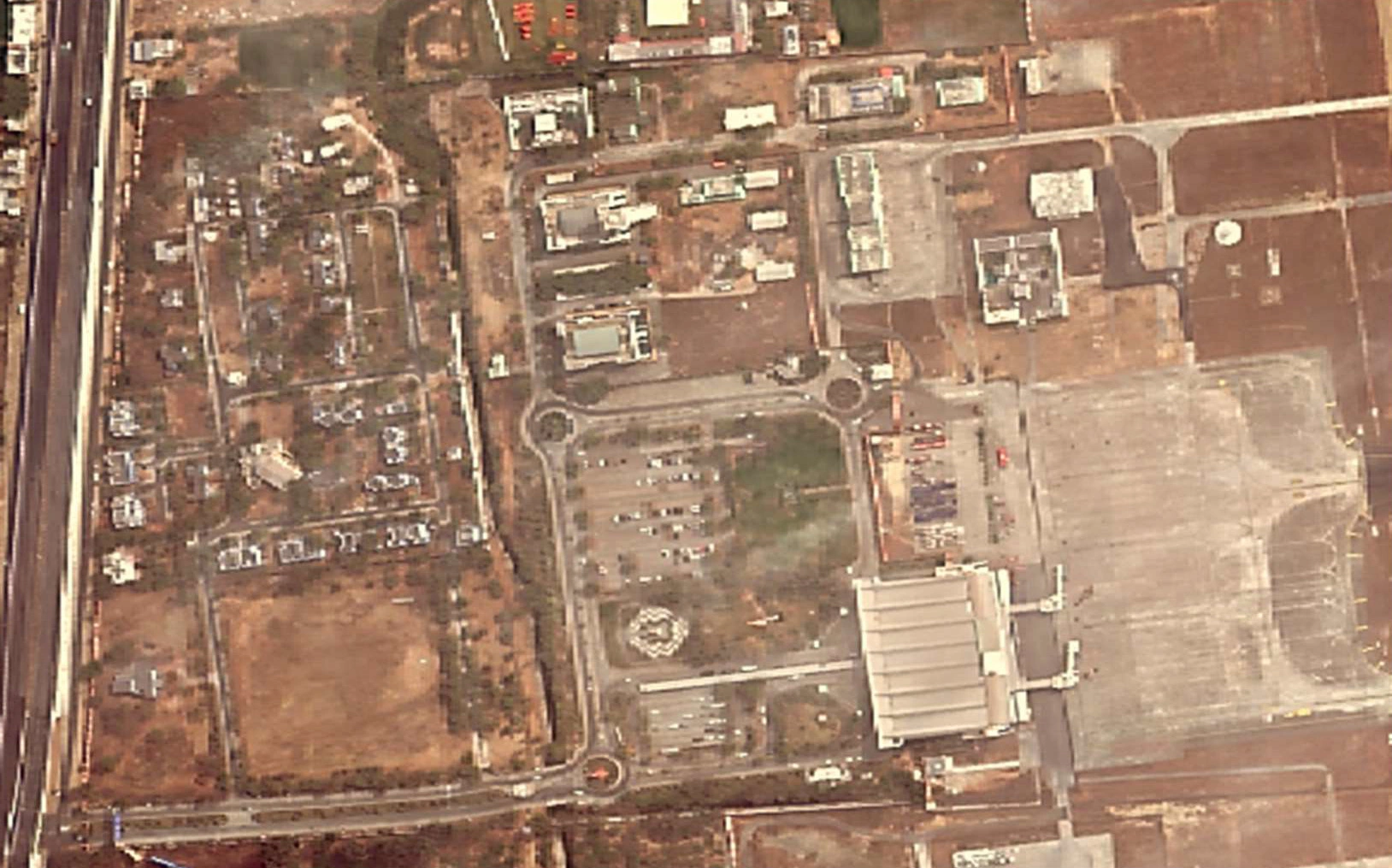
Digitization of Airport Land with Mapping Facilities
The digitization of airport land with mapping facilities involves creating detailed digital representations of an airport’s physical space, infrastructure, and land assets. This process employs various technologies to produce comprehensive maps and databases that support planning, management, operations, and safety. Here’s an in-depth look at what this entails.
Name of Airport: – Maharana Pratap Airport, Udaipur (AAI)
Scope Of Work
- Satellite Image Procurement and processing
- Feature Extraction and creation of Base Map
- Utility mapping (GPR survey)
- Ground Control Point collection through DGPS survey
- 3D modeling of the airport
- Elevation Data (DTM and DSM)
- Land records data management
- Web GIS Platform on Open Source for Viewing and editing data through WMS.


